
Tour de la butte de La Perrière
Foot
in Étang-sur-Arroux
6.3
km
Foot
Medium
-
Start - Place du Champ de Foire :
Cross the Place du Champ de Foire towards the centre of the village.
Take the small road that approaches the Arroux.
At the crossroads, head diagonally towards Brion - Laizy.
Cross the railway line.
Head towards the Château de la Perrière:
At the level crossing, follow the narrow road for about 1 km.
Leave it before the last house on the right.
Cross the Autun railway line.
Shortly afterwards, take the path on the left towards the remains of the château...Start - Place du Champ de Foire :
Cross the Place du Champ de Foire towards the centre of the village.
Take the small road that approaches the Arroux.
At the crossroads, head diagonally towards Brion - Laizy.
Cross the railway line.
Head towards the Château de la Perrière:
At the level crossing, follow the narrow road for about 1 km.
Leave it before the last house on the right.
Cross the Autun railway line.
Shortly afterwards, take the path on the left towards the remains of the château fort de la Perrière.
Follow the signs until you reach rue de la Garenne.
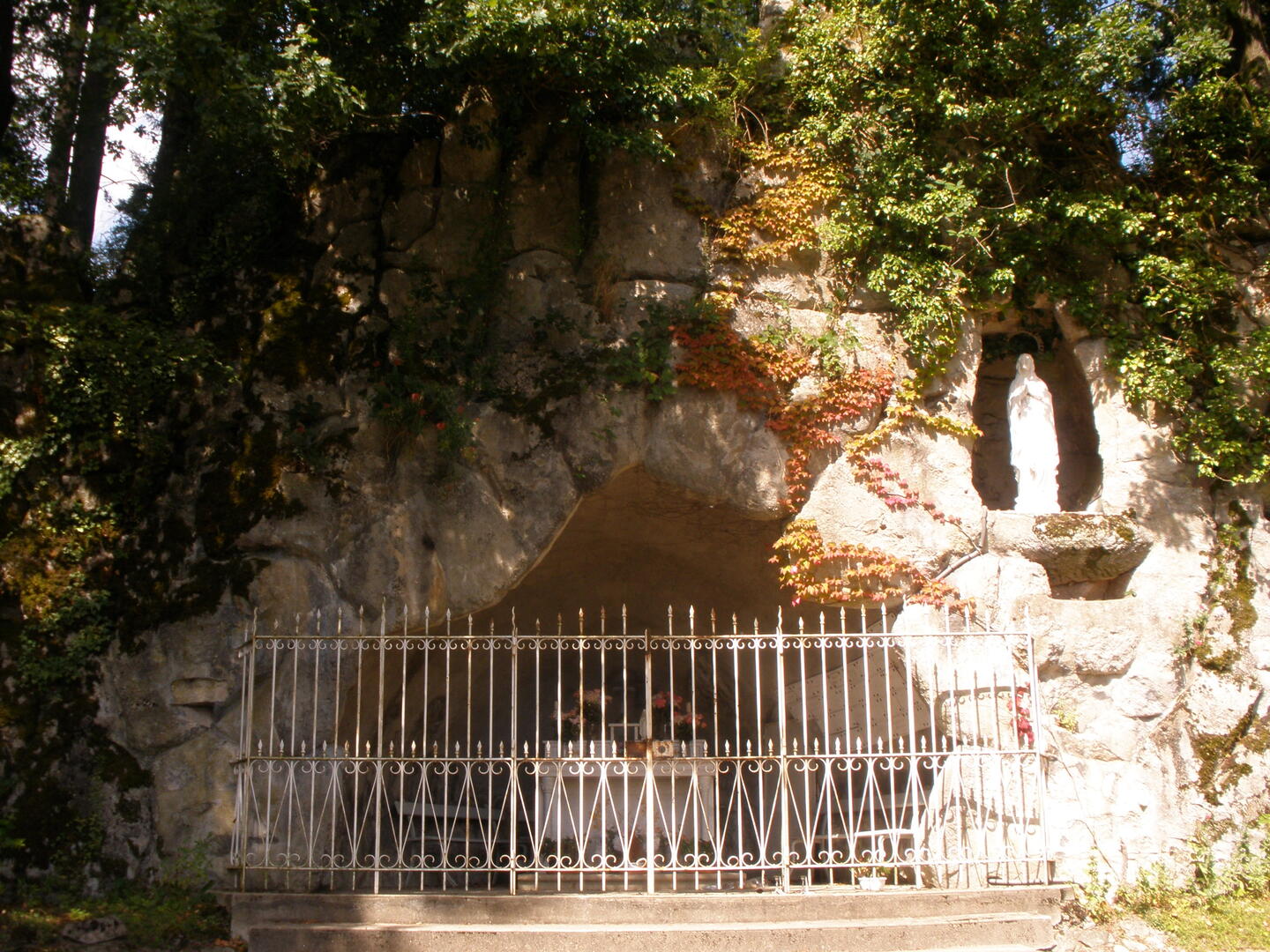
Note the replica of the Lourdes grotto and the Way of the Cross on the other side of the road.
Hameau de la Garenne ? Chemin des Granges :
Go left up through the hamlet of La Garenne.
Continue as far as the junction with rue de Montoy.
Go straight ahead on Chemin des Granges and follow the signs.
Return to Étang-sur-Arroux:
When you leave the signposted path, take the road on the right.
It leads back to Étang via the college and the La Perrière housing estate.
After the roundabout, continue for around 100 metres on the main road.
Just after the bridge over the railway, turn left.
Go past the stadium.
Arrival point: Continue until you reach the place du champ de foire, the starting point.
- Departure
- Étang-sur-Arroux
-
-
Difference in height
- 113 m
-
-
-
Documentation
-
- Instructions d'itinéraire - Tour de la butte de La Perrière
- Tracé GPX de l'itinéraire : Tour de la butte de La Perrière
- Tracé KML de l'itinéraire : Tour de la butte de La Perrière
-
- 113 meters of difference in height
-
- Maximum altitude : 371 m
- Minimum altitude : 272 m
- Total positive elevation : 113 m
- Total negative elevation : -113 m
- Max positive elevation : 75 m
- Min positive elevation : -67 m


