La Voie Verte, du Morvan aux vignobles
Tourist on bicycle
in Autun
73.1
km
Tourist on bicycle
Easy
-
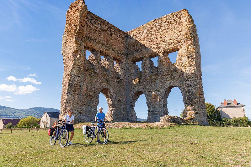
Here's a pleasant route on the Voie Verte to discover the north of the Saône-et-Loire by bike, starting from the beautiful Roman city of Autun, set against the foothills of the Morvan, and finishing in the heart of the Maranges vineyards and continuing towards Santenay.
The 47km route alternates between the Arroux and Drée valleys.
On the 2nd part of the route, the route stealthily infiltrates the Côte-d'Or before continuing through the heart of the Maranges vineyards and on to those of...Here's a pleasant route on the Voie Verte to discover the north of the Saône-et-Loire by bike, starting from the beautiful Roman city of Autun, set against the foothills of the Morvan, and finishing in the heart of the Maranges vineyards and continuing towards Santenay.
The 47km route alternates between the Arroux and Drée valleys.
On the 2nd part of the route, the route stealthily infiltrates the Côte-d'Or before continuing through the heart of the Maranges vineyards and on to those of the Côte Chalonnaise.
The soothing tranquillity of the countryside can be savoured with every pedal stroke.
- Departure
- Autun
-
-
Difference in height
- 594.414 m
-
-
-
Documentation
-
- Tracé GPX de l'itinéraire : La Voie Verte, du Morvan aux vignobles
- Tracé KML de l'itinéraire : La Voie Verte, du Morvan aux vignobles
-
- 594 meters of difference in height
-
- Maximum altitude : 528 m
- Minimum altitude : 217 m
- Total positive elevation : 594 m
- Total negative elevation : -404 m
- Max positive elevation : 104 m
- Min positive elevation : -95 m