Circuit de Trail: Boucle n°3 de Chateau-Chinon
Trail
in Château-Chinon (Ville)
27.8
km
Trail
Hard
-
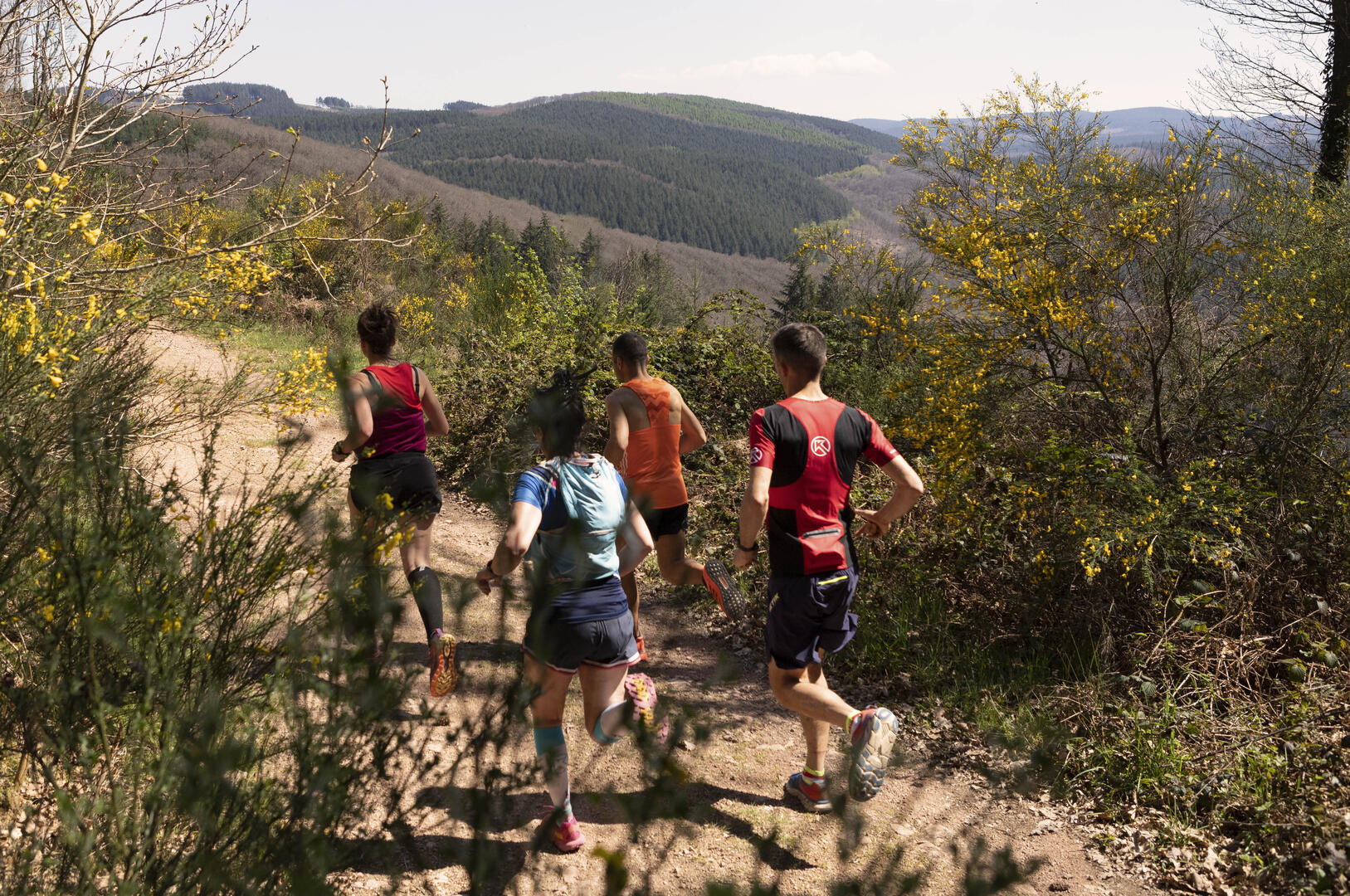
The route is almost 30 kilometres long, with a gradient approaching 900m, and takes in 3 almost parallel valleys: the better-known Yonne, the wilder, steeper Touron before returning to the Yonne valley, before climbing to the Calvary at Château-Chinon.
We advise you to take a good look at the weather conditions before setting off, and to have a food reserve, given the isolation of the areas you will be crossing. Water is less of a problem in the Morvan, which, like all granite soils, is a...The route is almost 30 kilometres long, with a gradient approaching 900m, and takes in 3 almost parallel valleys: the better-known Yonne, the wilder, steeper Touron before returning to the Yonne valley, before climbing to the Calvary at Château-Chinon.
We advise you to take a good look at the weather conditions before setting off, and to have a food reserve, given the isolation of the areas you will be crossing. Water is less of a problem in the Morvan, which, like all granite soils, is a veritable water tower (bring sterilisation tablets as a precaution).
- Departure
- Château-Chinon (Ville)
-
-
Difference in height
- 919.333 m
-
-
-
Documentation
-
- Tracé GPX de l'itinéraire : Circuit de Trail: Boucle n°3 de Chateau-Chinon
- Tracé KML de l'itinéraire : Circuit de Trail: Boucle n°3 de Chateau-Chinon
-
- 919 meters of difference in height
-
- Maximum altitude : 749 m
- Minimum altitude : 346 m
- Total positive elevation : 919 m
- Total negative elevation : -919 m
- Max positive elevation : 217 m
- Min positive elevation : -119 m