Circuit de Trail : Boucle n°1 de Chateau-Chinon
Trail
in Château-Chinon (Ville)
5.0
km
Trail
Easy
-
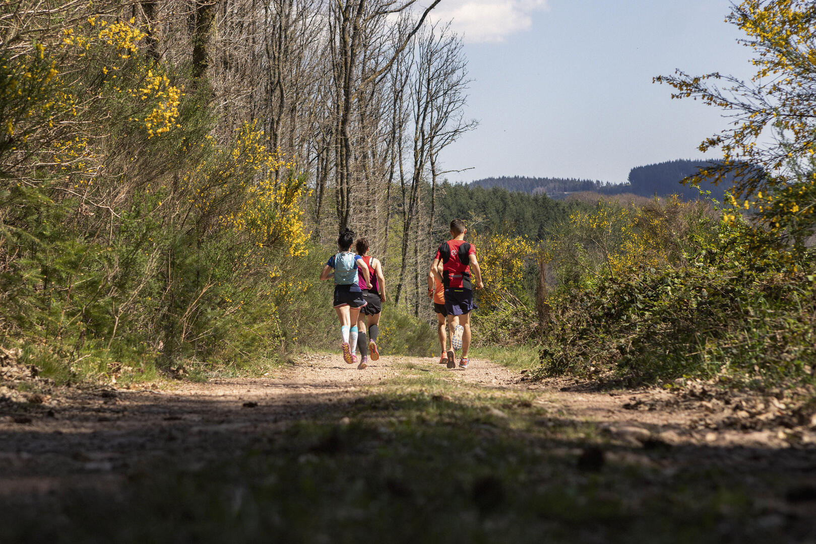
This very pleasant loop presents few difficulties, with several single-track areas. We ask you to keep to the paths that are specifically open. The fact that there are few difficulties does not mean that there are none, as there are three short but (very) nice bumps equally spaced along the route (giving you plenty of time to recover).
- Departure
- Château-Chinon (Ville)
-
-
Difference in height
- 165 m
-
-
-
Documentation
-
- Tracé GPX de l'itinéraire : Circuit de Trail : Boucle n°1 de Chateau-Chinon
- Tracé KML de l'itinéraire : Circuit de Trail : Boucle n°1 de Chateau-Chinon
-
- 165 meters of difference in height
-
- Maximum altitude : 579 m
- Minimum altitude : 492 m
- Total positive elevation : 165 m
- Total negative elevation : -165 m
- Max positive elevation : 52 m
- Min positive elevation : -53 m