
Le bois de Mongin
Foot
in La Celle-en-Morvan
8.9
km
Foot
Hard
-
Start - Place du 19 mars 1962 :
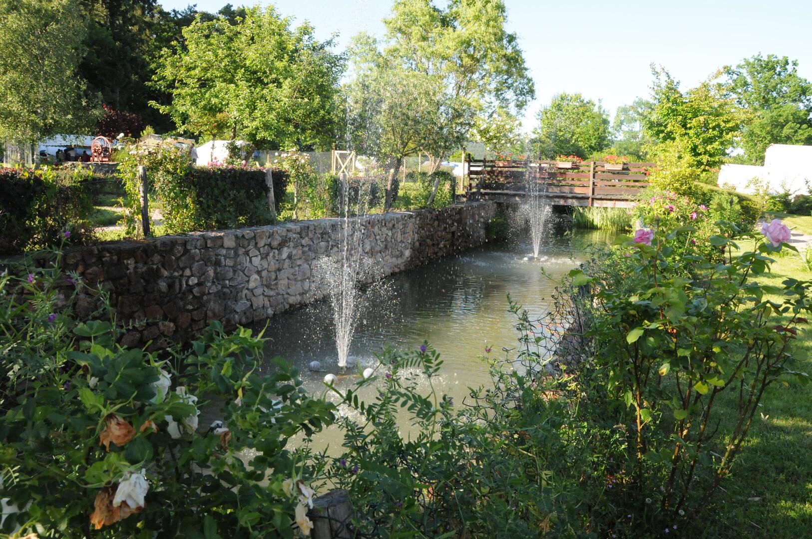
Take the road to the right of the square (towards the town hall, rose garden).
Turn left at the fork in the road.
Turn left at the crossroads.
When the road bends to the right, leave it and take the path slightly to the left.
Follow it straight ahead: it descends towards the river La Canche.
Crossing the Canche :
At the river, turn left and take the footbridge.
Continue as far as the D978 - route de Château-Chinon.
Turn right, passing the sawmill.
After 50 m,...Start - Place du 19 mars 1962 :
Take the road to the right of the square (towards the town hall, rose garden).
Turn left at the fork in the road.
Turn left at the crossroads.
When the road bends to the right, leave it and take the path slightly to the left.
Follow it straight ahead: it descends towards the river La Canche.
Crossing the Canche :
At the river, turn left and take the footbridge.
Continue as far as the D978 - route de Château-Chinon.
Turn right, passing the sawmill.
After 50 m, cross the road and take the path opposite.
Climb towards Grand Mizieux :
After 300 m on a steep slope, the track bends to the left and climbs up to a small road.
Follow this road to the left to reach Grand Mizieux.
Descent to La Celle-en-Morvan :
In the hamlet, after the 2nd house on the left (long building), go down the lane to reach a small tarmac road.
Follow it to the left.
At the well, continue straight ahead on the grassy path down towards La Celle-en-Morvan: gentle slope at first, then steeper.
You will come to a wood storage area.
Cross it to find a tarmac lane, which you turn left onto as far as the cemetery.
Old sunken track > Vallée de la Canche :
In front of the cemetery, go along the wall on the right to find the old sunken path (avoid the often muddy wooden square).
Continue straight ahead on the path parallel to the river.
Planche Saint-Agnan > Mériaux :
At Planche Saint-Agnan, you can cross the Canche by the footbridge on the left to go straight into the village.
Alternatively, continue straight on along the valley as far as the Mériaux farm.
Pass through the courtyard and take the tarmac lane.
Back to the village:
After 200 m, take the track on the left.
It leads to the D978, near the bakery/grocery shop.
Cross the D978 and follow the D2 towards Anost.
After a few metres, turn left in front of the school.
At the 1st crossroads, turn left again, passing the Roseraie and the Mairie.
Continue straight ahead to reach the Place du 19 mars 1962.
- Departure
- La Celle-en-Morvan
-
-
Difference in height
- 270.333 m
-
-
-
Documentation
- GPX / KML files allow you to export the trail of your hike to your GPS (or other navigation tool)
-
- 270 meters of difference in height
-
- Maximum altitude : 521 m
- Minimum altitude : 337 m
- Total positive elevation : 270 m
- Total negative elevation : -270 m
- Max positive elevation : 134 m
- Min positive elevation : -147 m

