
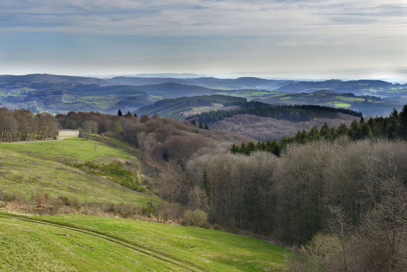
La Châtaigneraie
Equestrian, Foot, Mountain biking
in Saint-Léger-sous-Beuvray
-
Start from the town hall: Opposite the town hall, turn left for 10 m, then right onto the Route de Molnet and follow it for 2 km until you reach the last house.
Forks of Molnet: At the fork in the hamlet, take the path on the right towards Lavaux for 1.2 km.
Pass the farmhouse and turn right.
Tarmac path: Follow the tarmac path for 750 m, cross the road and continue straight on for 500 m to reach Corlon.
D3 road: Once on the D3, turn right and follow it for 1.5 km.
Arrival at...Start from the town hall: Opposite the town hall, turn left for 10 m, then right onto the Route de Molnet and follow it for 2 km until you reach the last house.
Forks of Molnet: At the fork in the hamlet, take the path on the right towards Lavaux for 1.2 km.
Pass the farmhouse and turn right.
Tarmac path: Follow the tarmac path for 750 m, cross the road and continue straight on for 500 m to reach Corlon.
D3 road: Once on the D3, turn right and follow it for 1.5 km.
Arrival at Saint-Léger-sous-Beuvray: Continue as far as the entrance to Saint-Léger.
- Departure
- Saint-Léger-sous-Beuvray
-
-
Difference in height
- 124.667 m
-
-
-
Documentation
- GPX / KML files allow you to export the trail of your hike to your GPS (or other navigation tool)
-
- 125 meters of difference in height
-
- Maximum altitude : 453 m
- Minimum altitude : 360 m
- Total positive elevation : 125 m
- Total negative elevation : -125 m
- Max positive elevation : 90 m
- Min positive elevation : -72 m


