
Les Moulins
Equestrian, Foot, Mountain biking
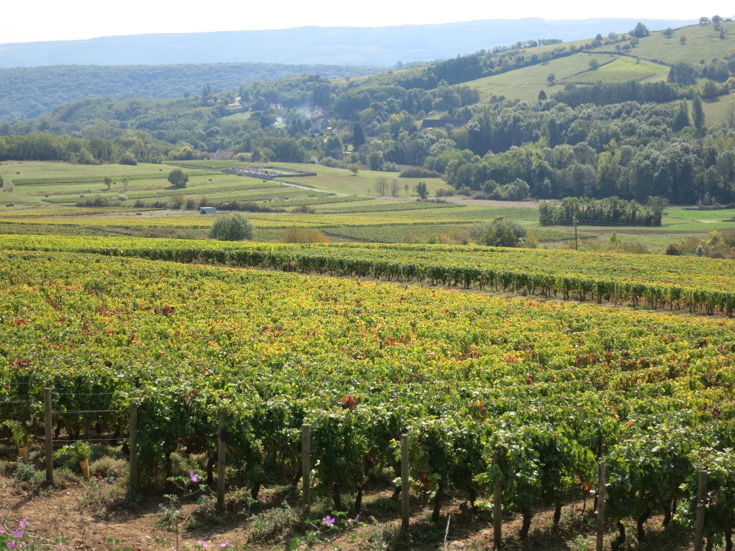
in Saint-Maurice-lès-Couches
-
After 250 m, take the right-hand track and turn right.
At Marchef, cross the two roads and take the dirt track on the right.
After 200 m, turn left and cross the bridge.
Continue for 100 m.
When you reach the D148, turn right (rue de la Chapelle).
Follow the D148 through the town for 500 m, then turn right into rue des Moulins.
After 300 m, go straight ahead on a dirt track, cross the bridge, then continue for 100 m to the D1 and turn left.
After 200m, take the right-hand track...After 250 m, take the right-hand track and turn right.
At Marchef, cross the two roads and take the dirt track on the right.
After 200 m, turn left and cross the bridge.
Continue for 100 m.
When you reach the D148, turn right (rue de la Chapelle).
Follow the D148 through the town for 500 m, then turn right into rue des Moulins.
After 300 m, go straight ahead on a dirt track, cross the bridge, then continue for 100 m to the D1 and turn left.
After 200m, take the right-hand track (signposted Corcelles).
Follow the Chemin des Romains for 600 m and turn right at the crossroads.
The track descends as far as Corcelles: turn left to join the D1, then follow it to the left back to the starting point.
- Departure
- Saint-Maurice-lès-Couches
-
-
Difference in height
- 128.667 m
-
-
-
Documentation
- GPX / KML files allow you to export the trail of your hike to your GPS (or other navigation tool)
-
- 129 meters of difference in height
-
- Maximum altitude : 367 m
- Minimum altitude : 271 m
- Total positive elevation : 129 m
- Total negative elevation : -129 m
- Max positive elevation : 91 m
- Min positive elevation : -79 m

