
La Trézyjeannoise
Equestrian, Foot, Mountain biking
in Saint-Jean-de-Trézy
-
Follow the tarmac road on the left for about 100 m towards the hamlet of Précelles, until you reach a small square surrounded by rocks.
Turn left, then immediately right onto the grassy track marked PR1.
Continue straight ahead.
Just before the climb, the terrain changes, indicating a change in the type of rock.
Follow this path through vineyards and fields, first uphill and then flat.
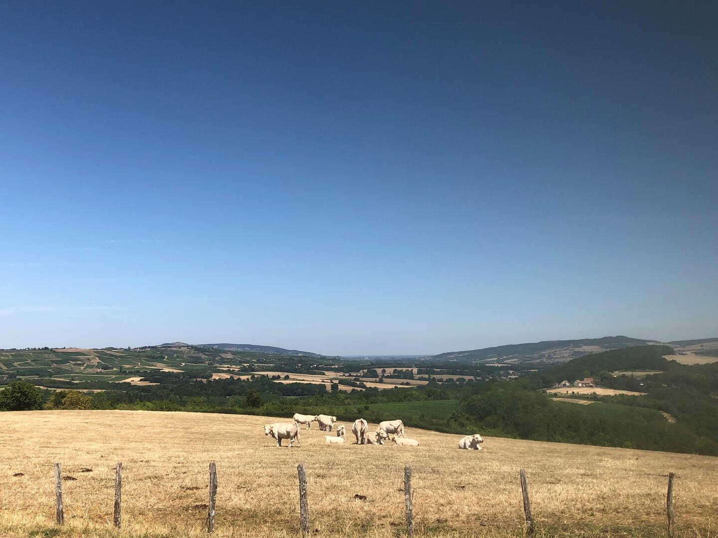
At a crossroads with several branches, turn right between the vines as far as the viewpoint, then descend...Follow the tarmac road on the left for about 100 m towards the hamlet of Précelles, until you reach a small square surrounded by rocks.
Turn left, then immediately right onto the grassy track marked PR1.
Continue straight ahead.
Just before the climb, the terrain changes, indicating a change in the type of rock.
Follow this path through vineyards and fields, first uphill and then flat.
At a crossroads with several branches, turn right between the vines as far as the viewpoint, then descend towards the hamlet of Les Vezeaux.
Go straight through the hamlet, then leave the tarmac road to continue straight ahead on a dirt track.
Turn right downhill (before the wood) to reach Le Petit Trézy.
When you reach the hamlet, turn left, go straight on, then continue along a grass track.
You will come to the D253, follow it for around 50 metres, then turn right up a track (do not cross the railway line).
Before reaching the tarmac road, turn left (small wash-house visible on the right just after the crossroads).
Go straight on at the first crossroads and, at the top of the hill (viewpoint), fork right onto a good track joining a tarmac road near large livestock buildings.
Cross the Saint-Jean-de-Trézy road.
At the first crossroads in the hamlet, go straight ahead, then shortly after turn right onto a grass track.
At the crossroads with a small road, go straight on for about 300 m, then turn left to return to the starting point.
- Departure
- Saint-Jean-de-Trézy
-
-
Difference in height
- 115.333 m
-
-
-
Documentation
- GPX / KML files allow you to export the trail of your hike to your GPS (or other navigation tool)
-
- 115 meters of difference in height
-
- Maximum altitude : 340 m
- Minimum altitude : 239 m
- Total positive elevation : 115 m
- Total negative elevation : -115 m
- Max positive elevation : 50 m
- Min positive elevation : -82 m
