
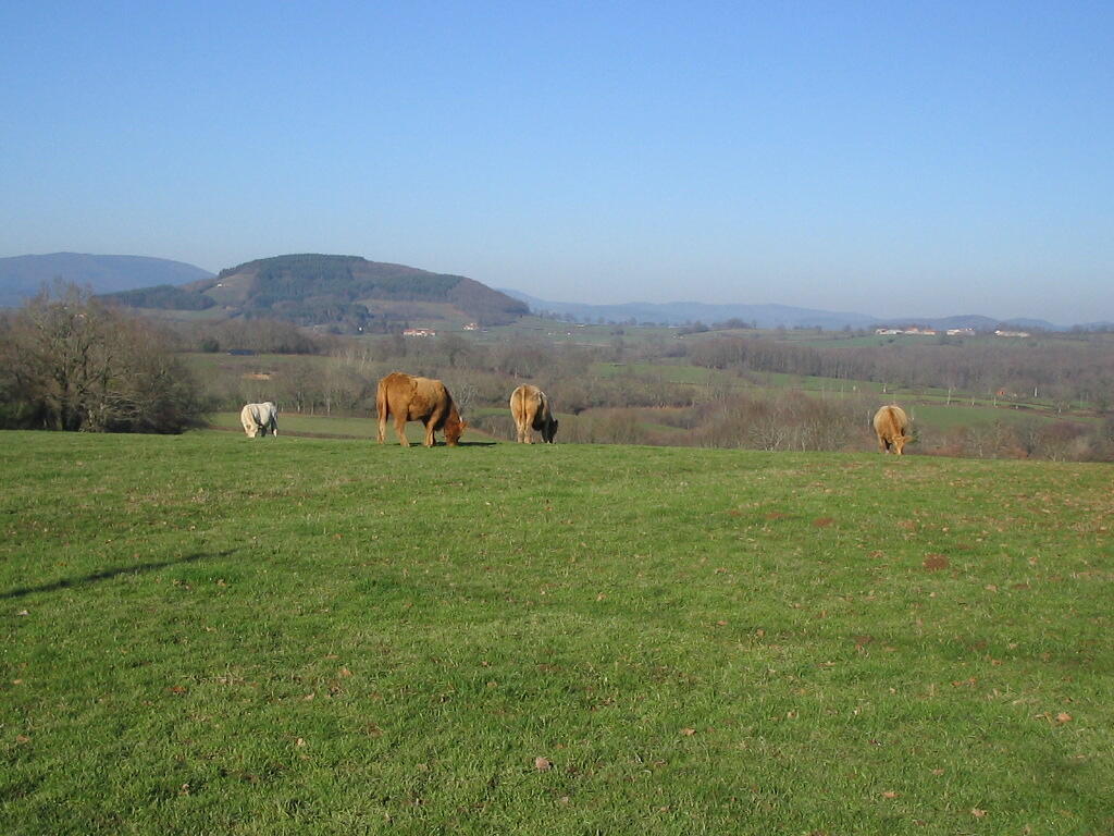
En montant à Dône
Equestrian, Foot, Mountain biking, Electric mountain bike
in Thil-sur-Arroux
-
Leave the village square at the top.
At the first crossroads, turn right.
Opposite the entrance gate to the château, turn left onto the main road towards Saint-Didier.
After the pond, take the track on the left, then shortly after turn right.
Continue until you come to a crossroads and turn left.
Continue along a pond until you reach the route de Souve.
Turn right, then right again at the crossroads marked by a large corner house (signposted Les Jouleaux, possible alternative).
Just before...Leave the village square at the top.
At the first crossroads, turn right.
Opposite the entrance gate to the château, turn left onto the main road towards Saint-Didier.
After the pond, take the track on the left, then shortly after turn right.
Continue until you come to a crossroads and turn left.
Continue along a pond until you reach the route de Souve.
Turn right, then right again at the crossroads marked by a large corner house (signposted Les Jouleaux, possible alternative).
Just before the house with the turret, turn right, then right again a little further on.
At the fork, take the left-hand branch, walk alongside a copse and then turn right.
When you reach the "Moulin Jouleau", fork left at the ornamental pond.
Continue straight ahead, passing behind the Develay farm, and exit onto the Route de Saint-Didier at Bois Clair.
Follow the tarmac road to the main road, turn left and then take the first turning on the right.
Head towards Bois Droits - Les Menauts and, just before the last farm, fork left.
At the bottom of the lane, turn right, drive past the farm buildings and then up the small tarmac road (the château grounds are on the left).
At the entrance gate, continue straight ahead to return to the village square.
Alternative route: Continue on to Patigny and Mont Dône (3 km). In Patigny, turn left. At the third crossroads, turn right, then follow the main road to Mont Dône.
- Departure
- Thil-sur-Arroux
-
-
Difference in height
- 142 m
-
-
-
Documentation
-
- Instructions d'itinéraire - En montant à Dône
- Tracé GPX de l'itinéraire : En montant à Dône
- Tracé KML de l'itinéraire : En montant à Dône
-
- 142 meters of difference in height
-
- Maximum altitude : 327 m
- Minimum altitude : 265 m
- Total positive elevation : 142 m
- Total negative elevation : -142 m
- Max positive elevation : 40 m
- Min positive elevation : -33 m
