Start - Mairie :
Take the small road between the town hall and the restaurant.
Go straight through Poiseuil.
Continue on the small tarmac road for 3 km as far as La Louère.
Towards the Croix de Valveron :
Before the buildings, take the path that climbs to the left.
Follow the GR131 signs (red and white) for 3 km as far as the Croix de Valveron.
Descend to the minor road:
At the crossroads, take the track that descends to the left.
Follow it for 1.7 km.
Towards the temple :
Continue on the...
Start - Mairie :
Take the small road between the town hall and the restaurant.
Go straight through Poiseuil.
Continue on the small tarmac road for 3 km as far as La Louère.
Towards the Croix de Valveron :
Before the buildings, take the path that climbs to the left.
Follow the GR131 signs (red and white) for 3 km as far as the Croix de Valveron.
Descend to the minor road:
At the crossroads, take the track that descends to the left.
Follow it for 1.7 km.
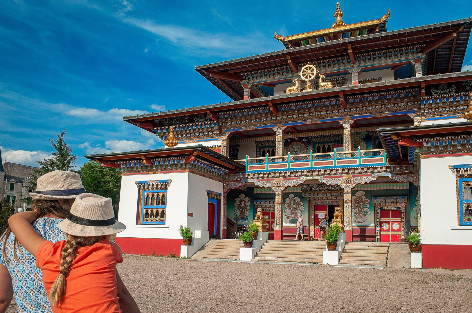
Towards the temple :
Continue on the track, which turns left and leads to a small road.
Turn right onto this road.
Go past the temple.
Turn left.
At the main road, turn left and follow it carefully for 1 km to the starting point.