
Circuit des Lavoirs
Foot
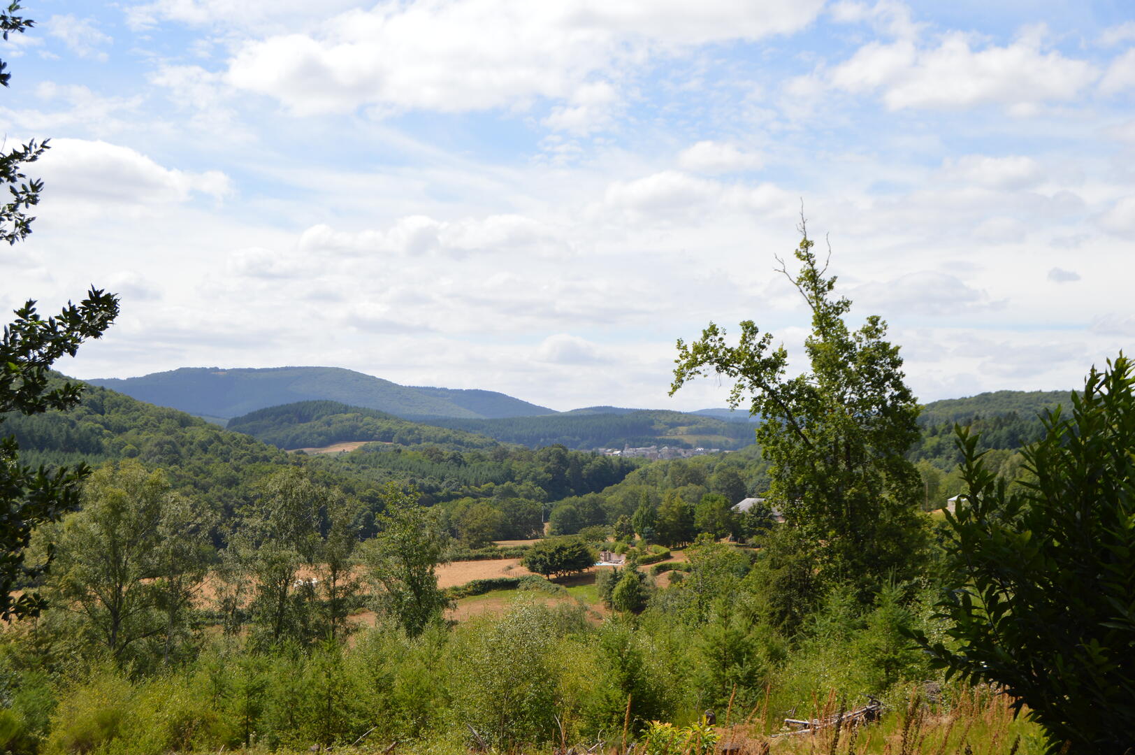
in Brion
10.9
km
Foot
Hard
-
Start - Town Hall car park:
Leave the car park in the direction of the totem pole.
Take the tarmac on the left.
After 700 m, at the first crossroads, you will see the Charas fountain.
Go straight on for 100 m, then turn left onto the track as far as the Corcelles crossroads.
Continue straight ahead until you reach the road, passing the Corcelles washhouse.
To Les Hauts de Trêt :
Cross the road and follow the signs for 1.1 km.
Join the route de Mesvres; turn right and walk a few metres.
Turn...Start - Town Hall car park:
Leave the car park in the direction of the totem pole.
Take the tarmac on the left.
After 700 m, at the first crossroads, you will see the Charas fountain.
Go straight on for 100 m, then turn left onto the track as far as the Corcelles crossroads.
Continue straight ahead until you reach the road, passing the Corcelles washhouse.
To Les Hauts de Trêt :
Cross the road and follow the signs for 1.1 km.
Join the route de Mesvres; turn right and walk a few metres.
Turn left onto a small tarmac road.
Below this, at the Hauts de Trêt crossroads, the walk continues to the left.
(Option: visit the Hauts de Trêt washhouse by following the signs for 300 m on the right).
Towards Les Levées > Montagny :
From Hauts de Trêt, turn left towards Corcelles.
Continue straight on for 900 m, between tarmac and tracks.
On the left, you will see the "Les Levées" wash-house.
At the end of the path, turn right and continue for 100 m on the same track as before.
At the crossroads, continue left towards Montagny for 500 m.
Just before the Mesvres road, turn right down the track.
At the bottom, turn right onto the tarmac, then left at the crossroads.
The Montagny wash-house is on the right, less than 100 m away.
Towards La Longine > Bois du Foin :
Continue on the tarmac for 400 m, then turn left towards the hamlet of La Longine.
Continue for around 300 m, then turn right onto a track.
Follow the signs for 1.7 km, passing the La Longine washhouse, then cross the Bois du Foin.
Towards Les Fourneaux :
At the end of the wood, turn right onto the tarmac for 100 m.
Then take the path to the right into the forest.
Follow this for 1.2 km to Les Fourneaux.
At the crossroads, turn left and follow the tarmac for 200 m.
Turn right onto a track towards Moulin Charas.
Moulin Charas > Return :
Cross the ford: the mill is on the right.
Continue on the tarmac to the Charras crossroads.
Turn left to reach the start car park.
- Departure
- Brion
-
-
Difference in height
- 236.178 m
-
-
-
Documentation
- GPX / KML files allow you to export the trail of your hike to your GPS (or other navigation tool)
-
- 236 meters of difference in height
-
- Maximum altitude : 435 m
- Minimum altitude : 301 m
- Total positive elevation : 236 m
- Total negative elevation : -235 m
- Max positive elevation : 128 m
- Min positive elevation : -92 m