
Circuit court des Lavoirs
Foot
in Brion
6.2
km
Foot
Easy
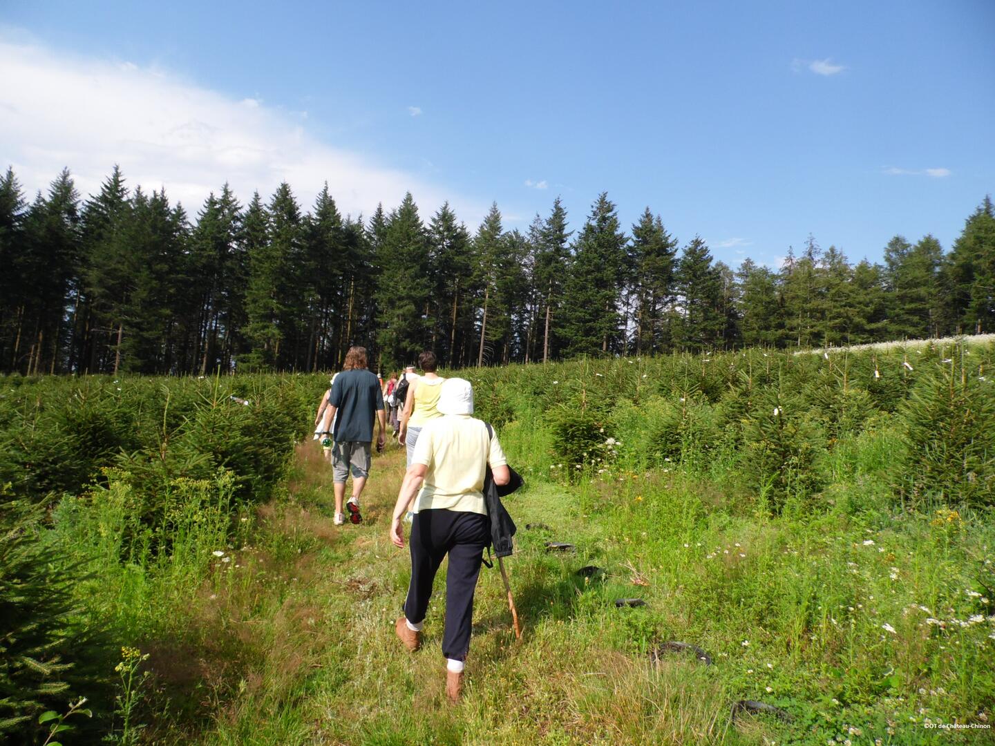
-
Start - Town Hall car park:
Leave the car park in the direction of the totem pole.
Take the tarmac on the left.
After 700 m, at the first crossroads, you will see the Charas fountain.
Go straight on for 100 m, then turn left onto the track as far as the Corcelles crossroads.
Continue straight on until you reach the road, passing the Corcelles washhouse.
Towards Hauts de Trêt :
Cross the road and follow the signs for 1.1 km.
Join the route de Mesvres; turn right and walk a few metres.
Turn...Start - Town Hall car park:
Leave the car park in the direction of the totem pole.
Take the tarmac on the left.
After 700 m, at the first crossroads, you will see the Charas fountain.
Go straight on for 100 m, then turn left onto the track as far as the Corcelles crossroads.
Continue straight on until you reach the road, passing the Corcelles washhouse.
Towards Hauts de Trêt :
Cross the road and follow the signs for 1.1 km.
Join the route de Mesvres; turn right and walk a few metres.
Turn left onto a small tarmac road.
Below this is the Hauts de Trêt crossroads: the walk continues on the left.
(Option: visit the Hauts de Trêt washhouse by following the signs for 300 m on the right).
Towards Les Levées :
From Hauts de Trêt, turn left towards Corcelles.
Continue straight on for 900 m, between tarmac and tracks.
On the left, you will see the "Les Levées" wash-house.
At the end of the path, turn right and continue for 100 m on the same track as before.
Towards Montagny :
At the crossroads, continue left towards Montagny for 500 m.
Just before the Mesvres road, turn right down the track.
At the bottom, turn right onto the tarmac.
At the crossroads:
Main option: continue straight ahead along the route des Mouillons, passing through Les Chaintres and returning to the car park (approx. 1.4 km).
Visitor option: turn left for 100 m, then right to reach the Montagny washhouse.
Then return to the crossroads to resume the main route.
- Departure
- Brion
-
-
Difference in height
- 149.486 m
-
-
-
Documentation
-
- Tracé GPX de l'itinéraire : Circuit court des Lavoirs
- Tracé KML de l'itinéraire : Circuit court des Lavoirs
-
- 149 meters of difference in height
-
- Maximum altitude : 435 m
- Minimum altitude : 301 m
- Total positive elevation : 149 m
- Total negative elevation : -149 m
- Max positive elevation : 131 m
- Min positive elevation : -64 m
