
Circuit de Charbonnat
Foot
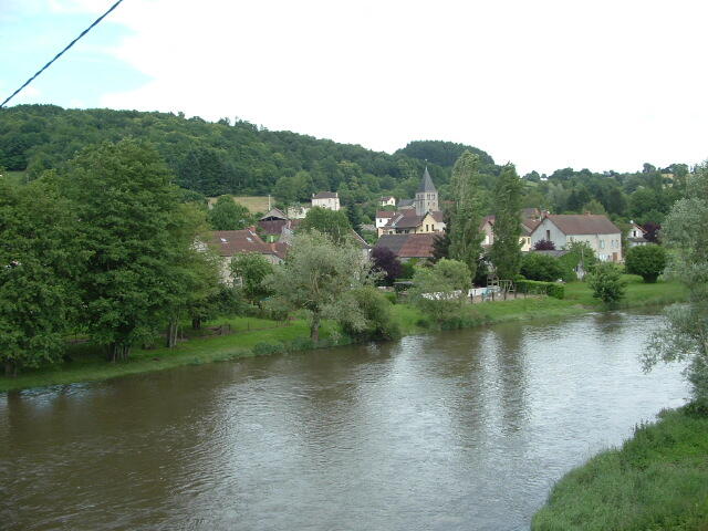
in Charbonnat
18.2
km
Foot
Very difficult
-
Start Salle des Fêtes de Charbonnat :
Leave the car park on the road, turn left, continue for 500 m, then turn left onto the track leading uphill.
Pass two tracks on the left, then after 1.4 km, keep left to exit onto a small road at Les Loges.
Les Loges D114 :
After 900 m, as you go downhill, take the track on the right and follow it straight ahead.
Continue straight ahead on the tarmac and turn left at the D114.
Pass the Chevannes pond.
1.4 km further on, cross the main road and take...Start > Salle des Fêtes de Charbonnat :
Leave the car park on the road, turn left, continue for 500 m, then turn left onto the track leading uphill.
Pass two tracks on the left, then after 1.4 km, keep left to exit onto a small road at Les Loges.
Les Loges > D114 :
After 900 m, as you go downhill, take the track on the right and follow it straight ahead.
Continue straight ahead on the tarmac and turn left at the D114.
Pass the Chevannes pond.
1.4 km further on, cross the main road and take the road opposite towards Plaige.
Plaige > Croix de Valveron :
Go past the temple.
After the first farm, turn left up the hill.
After 500 m, follow the track to the right for 1.7 km as far as the Croix de Valveron.
Towards Dettey :
Turn left, then after 900 m, take the small road on the left.
After 500 m, turn right, then left towards Dettey.
The narrow road climbs steeply; after 500 m, turn left onto the track that descends.
Pierre que Croule > Thul :
Pass through Pierre que Croule, take the road to the right, then after 500 m, take the track to the left, then to the right, which descends to Thul.
Continue straight ahead on the tarmac.
Thul > Les Rendards > Le Creux :
1.2 km further on, just before Les Rendards, take the track that descends to the left and follow it for 1.7 km.
At the crossroads, take the track on the right.
750 m further on, cross the main road carefully and continue straight ahead on the track that rises opposite.
Continue straight ahead along the track, which veers slightly to the right as it descends, passing behind a farm, then back up to the small road, which you turn left onto.
Return via Le Creux > Charbonnat :
400 m further on, fork right onto a track that climbs slightly then descends back to Le Creux.
Take the road to the right as far as Charbonnat church.
Turn left, then right to return to the Salle des Fêtes.
- Departure
- Charbonnat
-
-
Difference in height
- 393 m
-
-
-
Documentation
-
- Instructions d'itinéraire
- Tracé GPX de l'itinéraire : Circuit de Charbonnat
- Tracé KML de l'itinéraire : Circuit de Charbonnat
-
- 393 meters of difference in height
-
- Maximum altitude : 513 m
- Minimum altitude : 266 m
- Total positive elevation : 393 m
- Total negative elevation : -393 m
- Max positive elevation : 205 m
- Min positive elevation : -153 m
