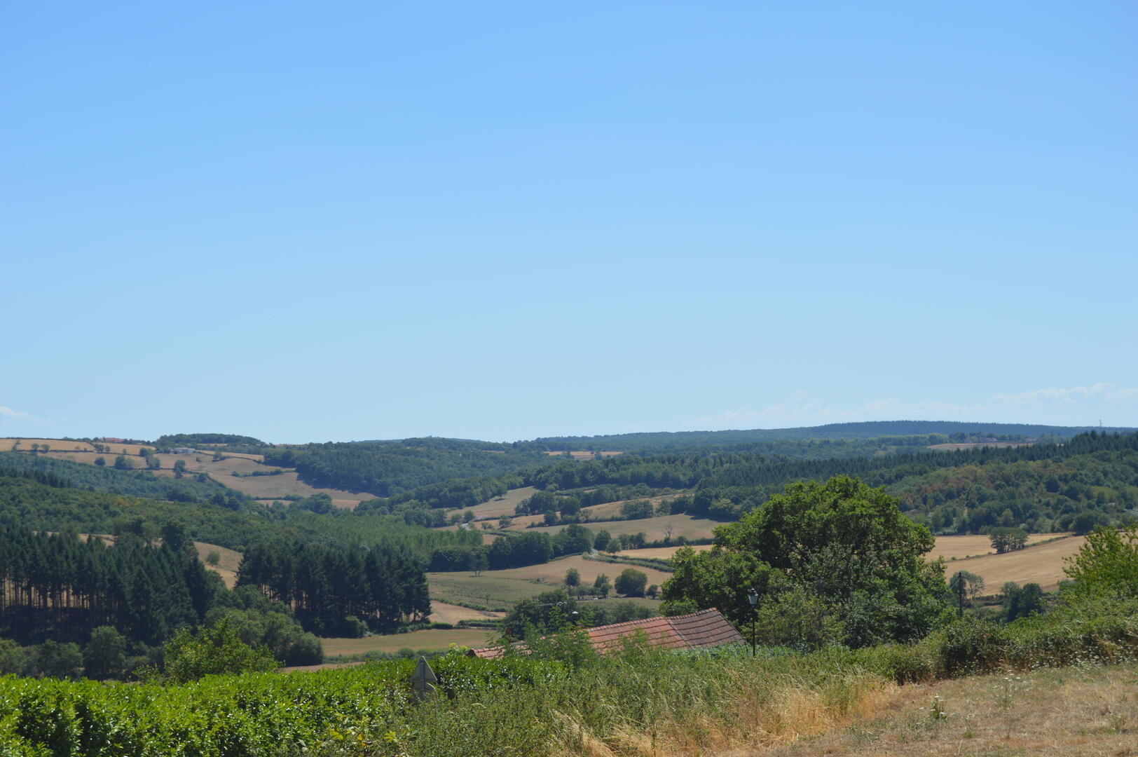
Balade de la Chevrière
Foot, Mountain biking
in Saint-Eugène
-
- Clockwise route :
Leave the square by turning left down the D224 for a few metres, then turn left into the small street to reach the church square (visit possible).
Go down the street beneath the church and, at the crossroads, continue down the small road on the right.
After the cemetery, the road joins the D240: continue downhill for another 500 m or so to find a good path on the right, near a pylon, that leads up the valley of the Valveron stream.
Follow this path for almost 2 km.
At...- Clockwise route :
Leave the square by turning left down the D224 for a few metres, then turn left into the small street to reach the church square (visit possible).
Go down the street beneath the church and, at the crossroads, continue down the small road on the right.
After the cemetery, the road joins the D240: continue downhill for another 500 m or so to find a good path on the right, near a pylon, that leads up the valley of the Valveron stream.
Follow this path for almost 2 km.
At the fork in the road, turn left onto a wide, shady track leading to La Chevrière.
Just before the buildings, the path joins a good track: take this to the right to return to Saint-Eugène.
The track first descends, then rises towards the Petits Châteaux farm.
Follow the tarmac road to the junction with the D224, then turn right to find the village car park around 100 metres away.
- The opposite route (better views; less strenuous ascent).
Leave the square and follow the D224 to the right for around 100 metres.
Turn left onto the small road leading down to Les Petits Châteaux and La Chevrière.
Follow it as far as the locality.
A few metres before the buildings, turn left onto a wide, shady track.
At the first fork in the road, turn right and follow the Valveron stream valley downhill for around 2 km.
At the junction with the D240, turn left onto this road and climb for 500 m.
Then take the small road on the right: it runs alongside the cemetery and reaches the village.
Turn left up to the church (which can be visited).
Follow the road past the church back to the D224.
After a few metres, turn right into the car park at Place de la Mairie.
- Departure
- Saint-Eugène
-
-
Difference in height
- 100 m
-
-
-
Documentation
-
- Instructions d'itinéraire - Balade de la chèvrerie
- Tracé GPX de l'itinéraire : Balade de la Chevrière
- Tracé KML de l'itinéraire : Balade de la Chevrière
-
- 100 meters of difference in height
-
- Maximum altitude : 356 m
- Minimum altitude : 284 m
- Total positive elevation : 100 m
- Total negative elevation : -100 m
- Max positive elevation : 66 m
- Min positive elevation : -70 m